Braintree District Landscape Sensitivity Study
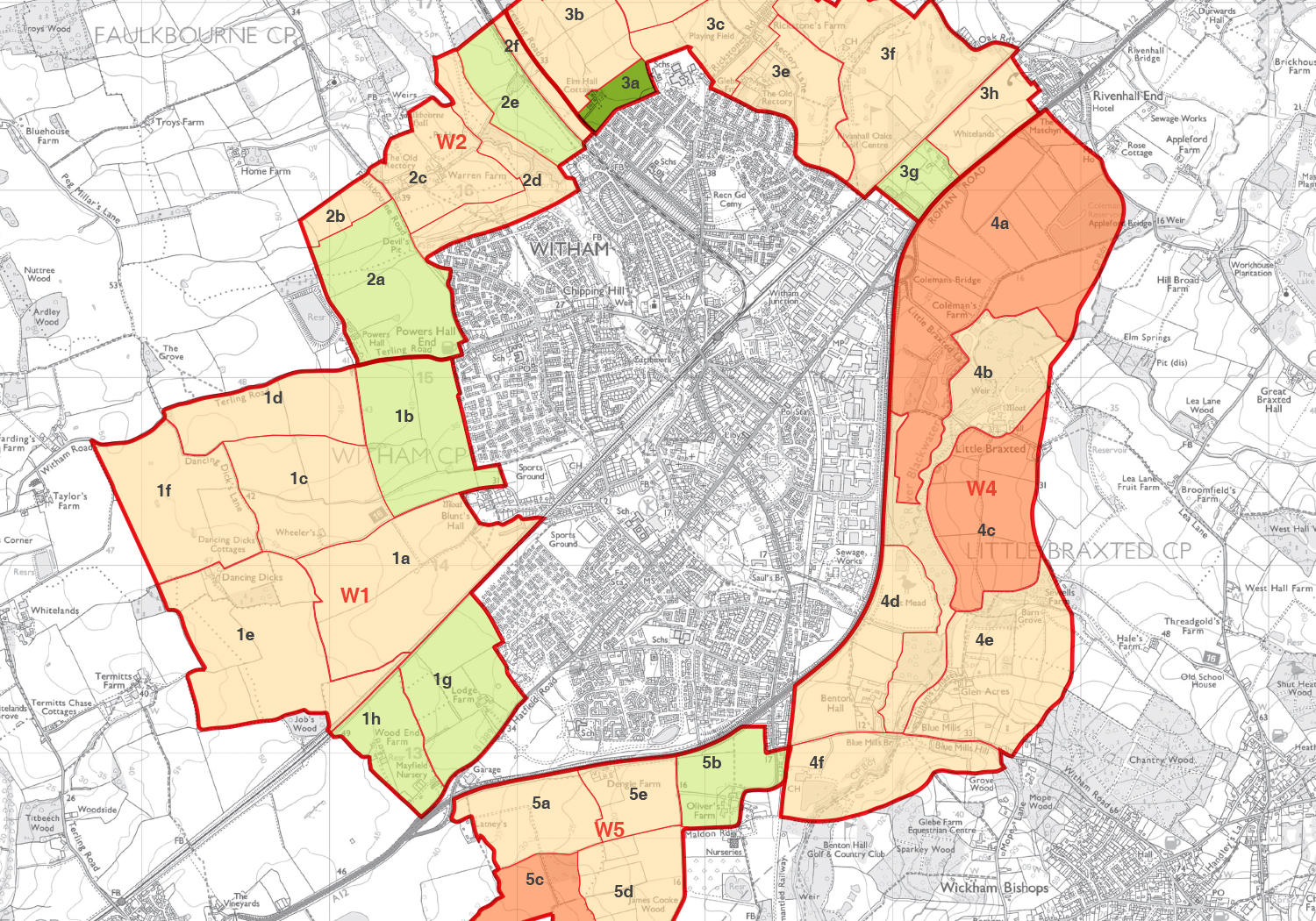
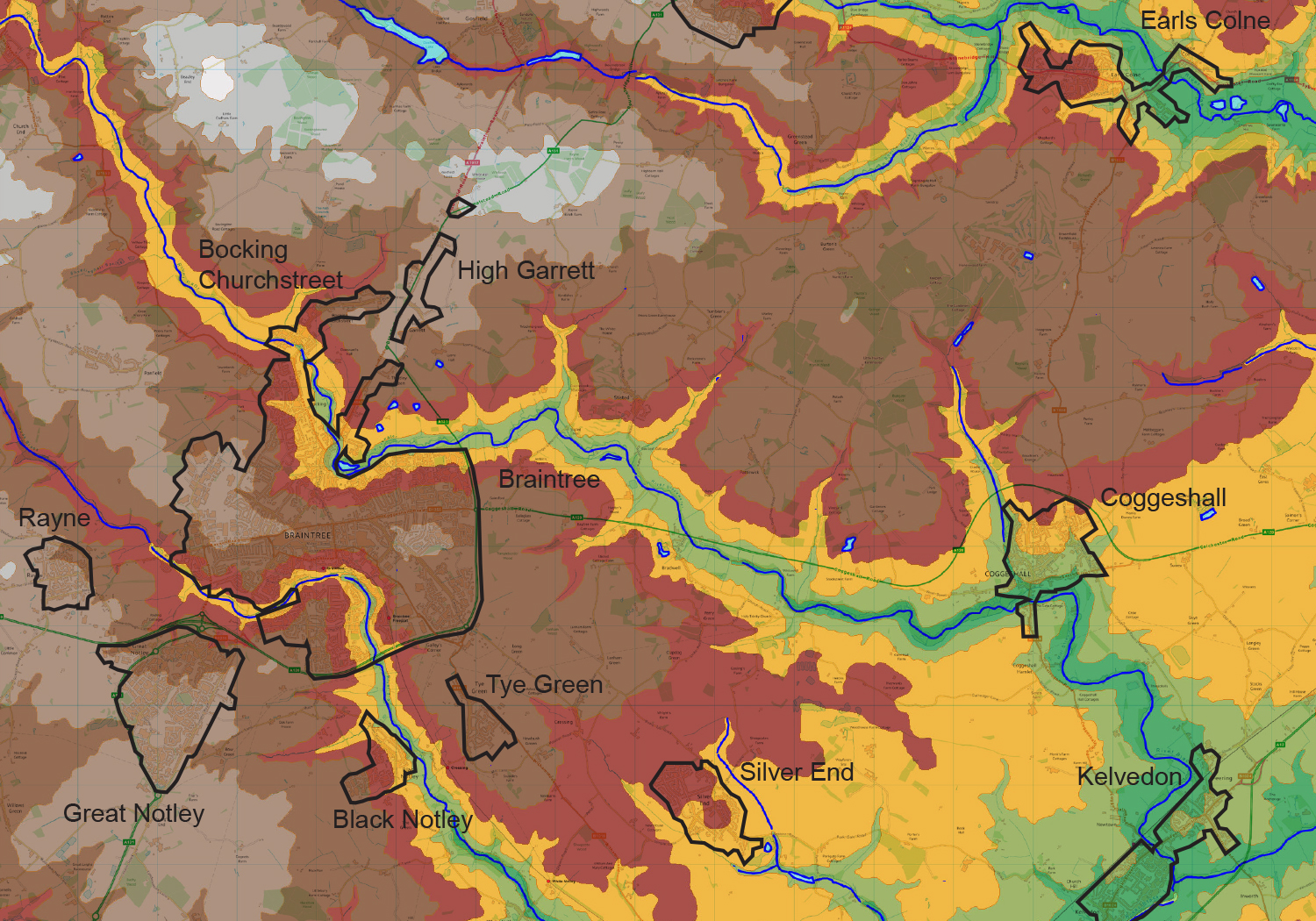
Preparation of a suite of documents that analysed the capacity of parcels of land around nine settlements in Braintree District to accommodate residential development in landscape terms. The evaluation included a finer-grain assessment of landscape setting areas to identify which parts of these settlements have the capacity to absorb development with appropriate mitigation measures and minimal impact on the landscape.
A robust methodology was developed and a range of landscape and visual criteria were identified, assessed and scored in order to evaluate, in a transparent manner, the capacity of the landscape, parcel by parcel, to accommodate development. The findings were presented in a tabulated form to aid comparisons and graphically mapped.
The results of this study were to be used as part of the evidence base to inform the forthcoming Local Plan.


